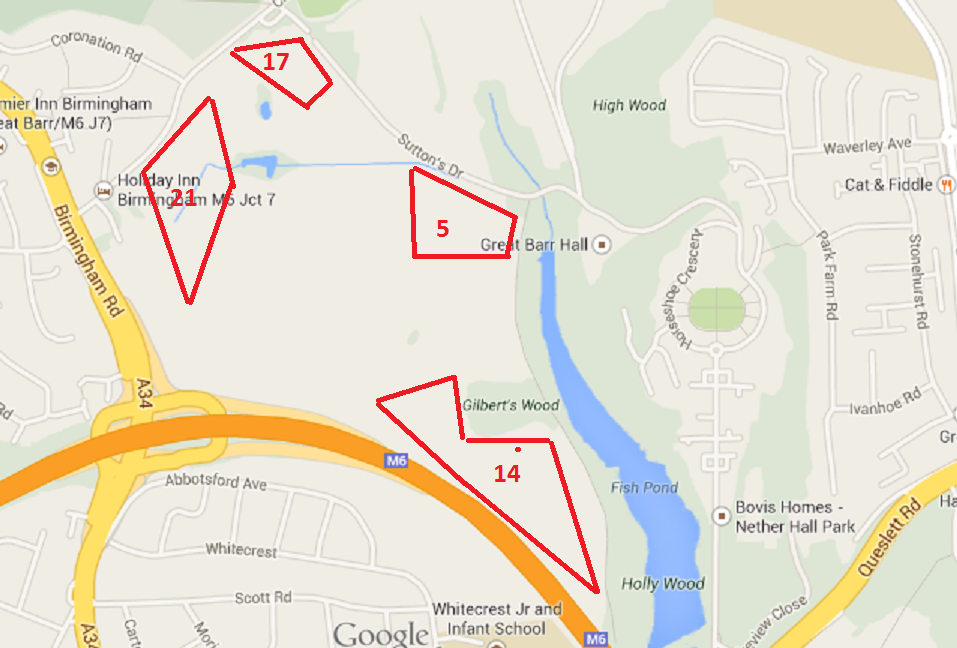
A few people reading this blog may not be aware of the area that we are talking about. So today I decided at lunch to take a few photo’s of the area to give people a better understanding of it.
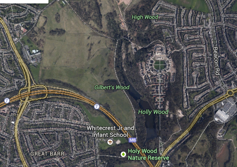
So the following from Google Map shows the rough location of the housing and the number of houses in each section. The ones in the Southern part by the lake are the large homes. It is not to scale ! my drawing is not that good !
The following are pictures I could take without trespassing in the area and from different angles.

Entrance to Sutton’s Drive
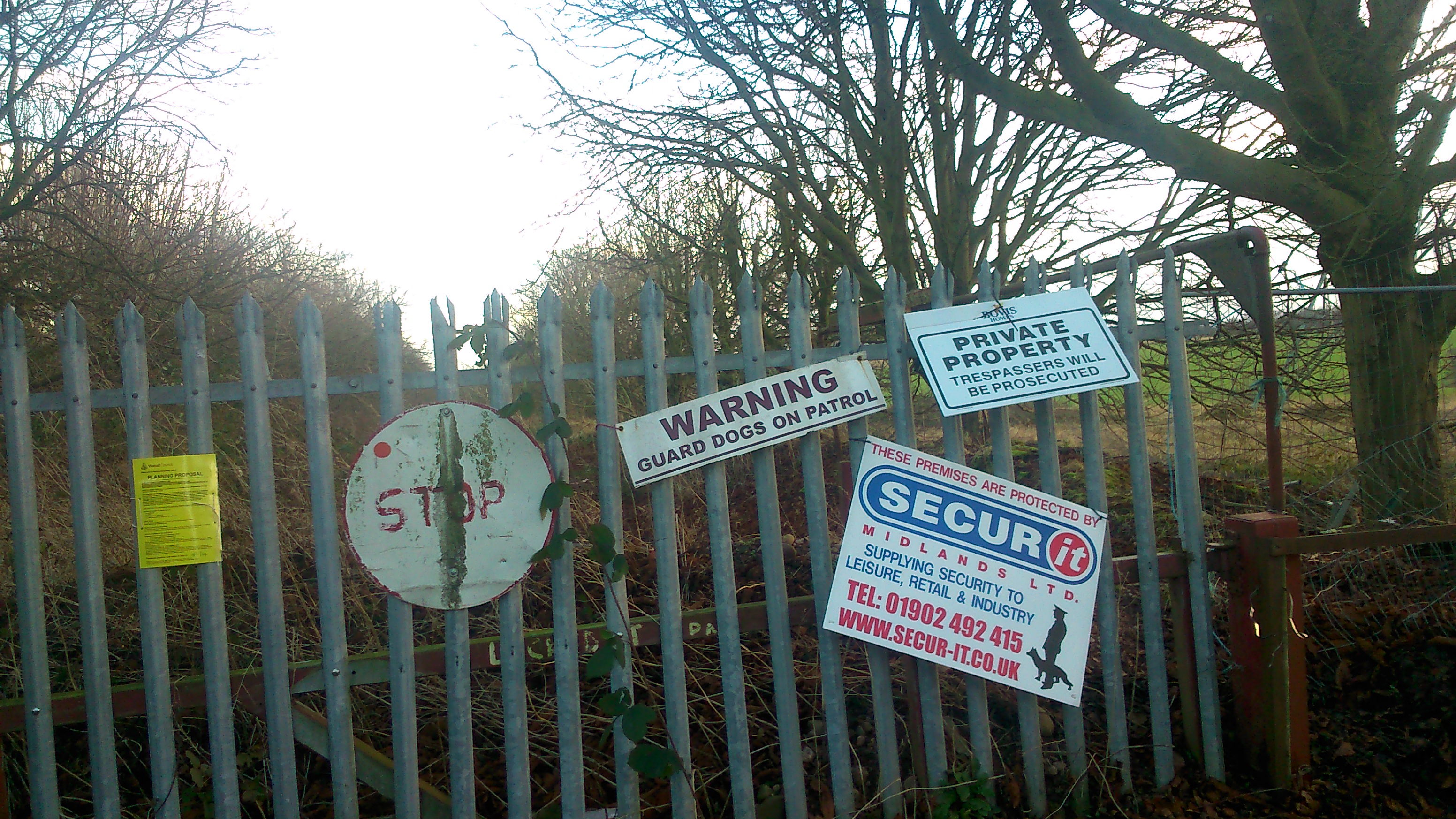
Signs warning of private land and guards, easy to get past
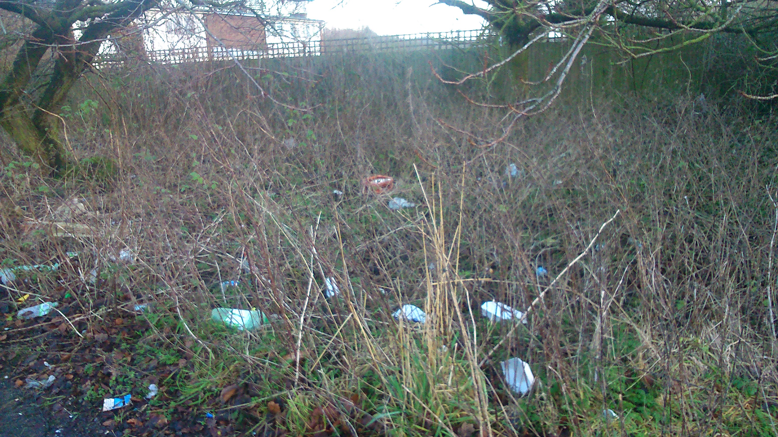
Rubbish thrown away by side of Suttons Drive

Entrance gates to the right of the layby
Looking through the gates

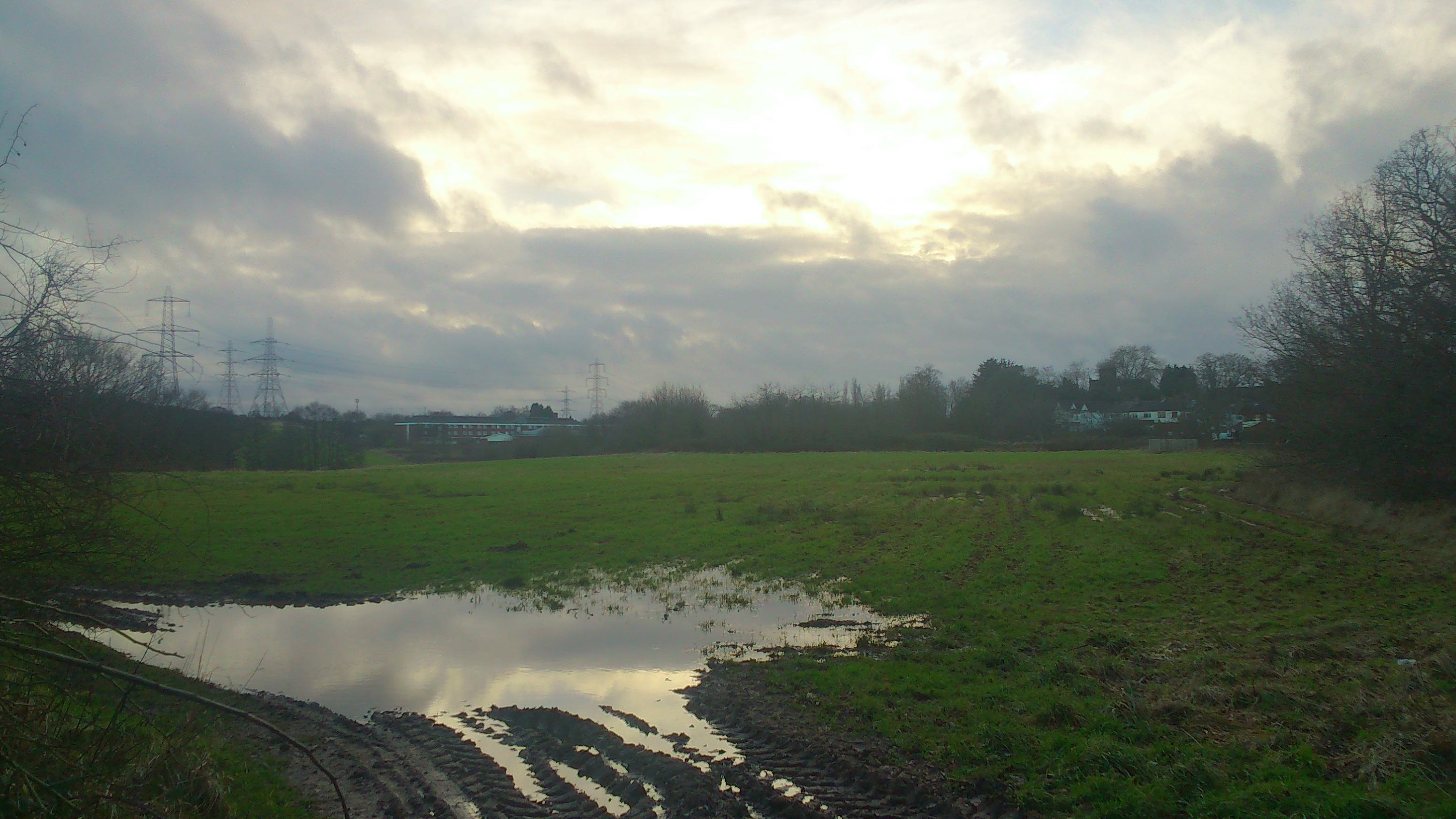
Looking across the fields between Suttons Drive and Coronation road

Same Area looking towards Suttons Drive

From Coronation Road
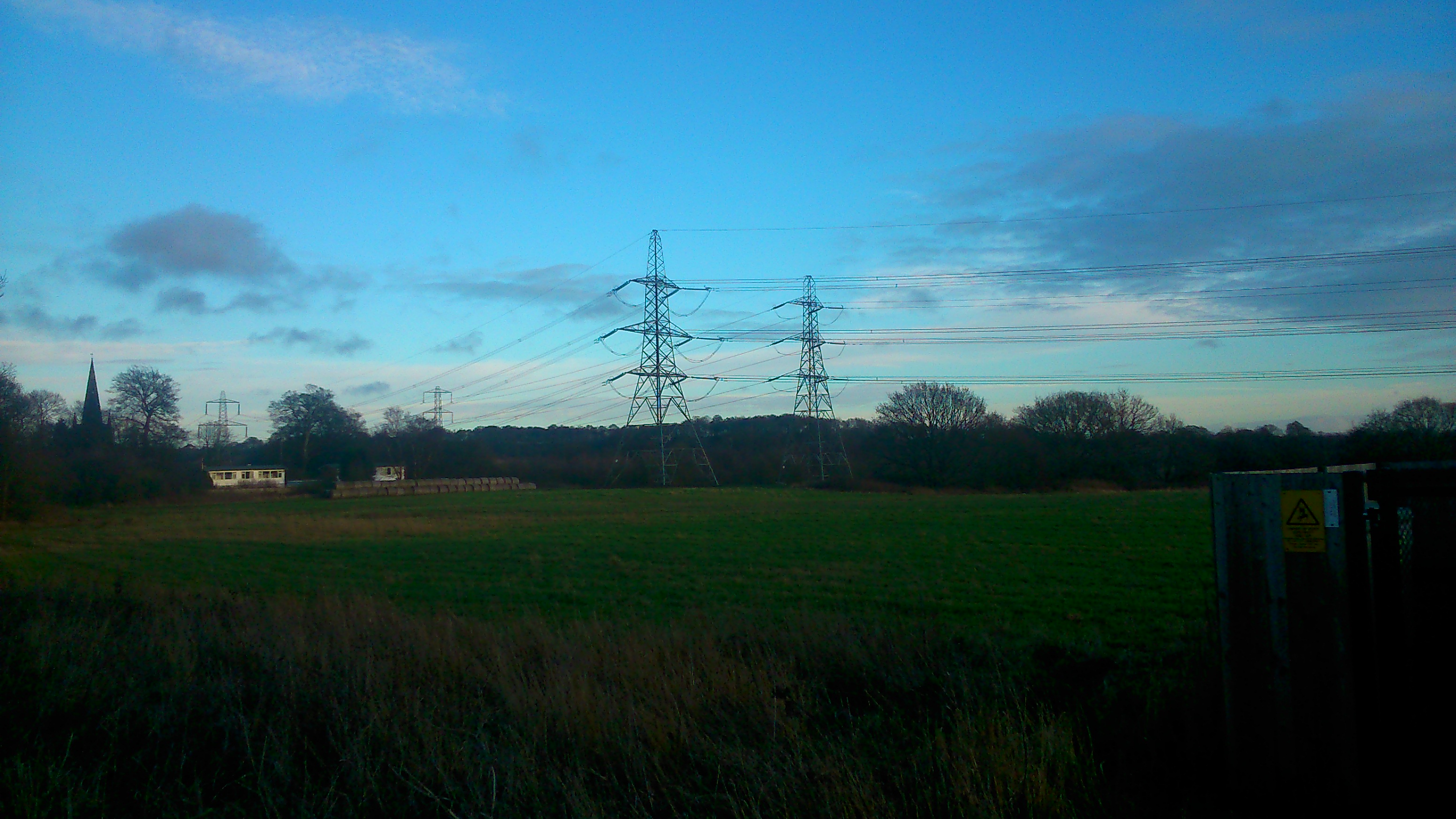
From opposite Coronation Road
This is the land the debate is about, this is where most of the impact will be seen for people.
However unlike say Barr Beacon, Sutton Park etc I could not legally go any further than the boundary to take these photo. It is not a totally rural scene, you can see the Premier Inn Hotel for different angles. You can see the electricity Pylons across the landscape and hear the continual hum and drone of the M6.
As for the traffic when I was there it was reasonably quiet but it is used as a through road to avoid the Scott Arms Junction.
